Sunday, December 11, 2011

DeCaLiBron - Colorado 14ers

This past August I added three more 14ers to my personal life list. The 7.25 mile loop would put me on top of three summits - the fourth (Mt. Bross) is currently closed.

The trailhead (12,000 feet) is located a few miles above Alma at Kite Lake, and it was crowded that early Sunday morning.


The first half-mile or so was a gradual climb but as you started through the scree to the saddle between Democrat and Cameron, the incline increased significantly. I love the early morning shadows of the Colorado Rockies - I stopped to look back toward the trailhead and I snapped this shot of the shadows.


It seemed like no time at all before I hit the first saddle and the view of the extreme headwaters of the South Platte was amazing.


After a quick stop at the saddle, it was a sharp left turn up Democrat's east slope. This is where the trail gets much steeper and there were several switchbacks to the false summit. It was a slow go between the saddle and the false summit but once to the top of the false summit the Democrat summit was in view. Even though I was hiking solo, I would not be alone on this trek.


A short distance later, I was standing on the summit of Mt. Democrat (14,148) - my third 14er.


I love the views from these summits. From the summit of Democrat I could see Mt. Elbert, which I summited in 2008 - I could not believe how much snow remained in August.


After a short rest on Democrat, it was back down to the saddle on my way to my next two summits. From the edge of the Democrat summit I could see my next two stops Cameron and Lincoln (in the background).


I always struggle on the downhill, it's hard on my old knees, but it was nice to get a breather before starting the climb to the Cameron summit. The climb up Cameron's ridge was not nearly as difficult as the Democrat climb and as the trail swung from the right side of the ridge to the left, I snapped this shot across the valley.


Then, looking back as the trail levels out before the Cameron summit.


From this point it was an easy hike to the large, flat summit of Cameron. I wasn't like a summit at all, more like a football field at 14,000 feet. I stopped only long enough to take a self-portrait on Cameron (14,238), the wind was howling to the point I was nearly blown down, time to find relief from the wind!


My next, and final, summit of the loop is Lincoln - a short distance from the Cameron summit.


After the climb up Democrat, then Cameron, the short trek to Lincoln was relatively easy. I say "relatively easy" because over 13,000 feet nothing is EASY. You can see the well-defined trail from near the Lincoln summit.


I didn't get a summit portrait on the small summit of Lincoln (sharp contrast to the size of Cameron's summit), but I did get a couple of other shots . Mt. Lincoln summit (14,286 feet) and 14er number five for me.


A much better shot to the north of the alpine lake and Quandary Peak.


After another quick summit stop, it was all downhill! The trail below the Cameron summit was very nice allowing me to make very good time on the way down.

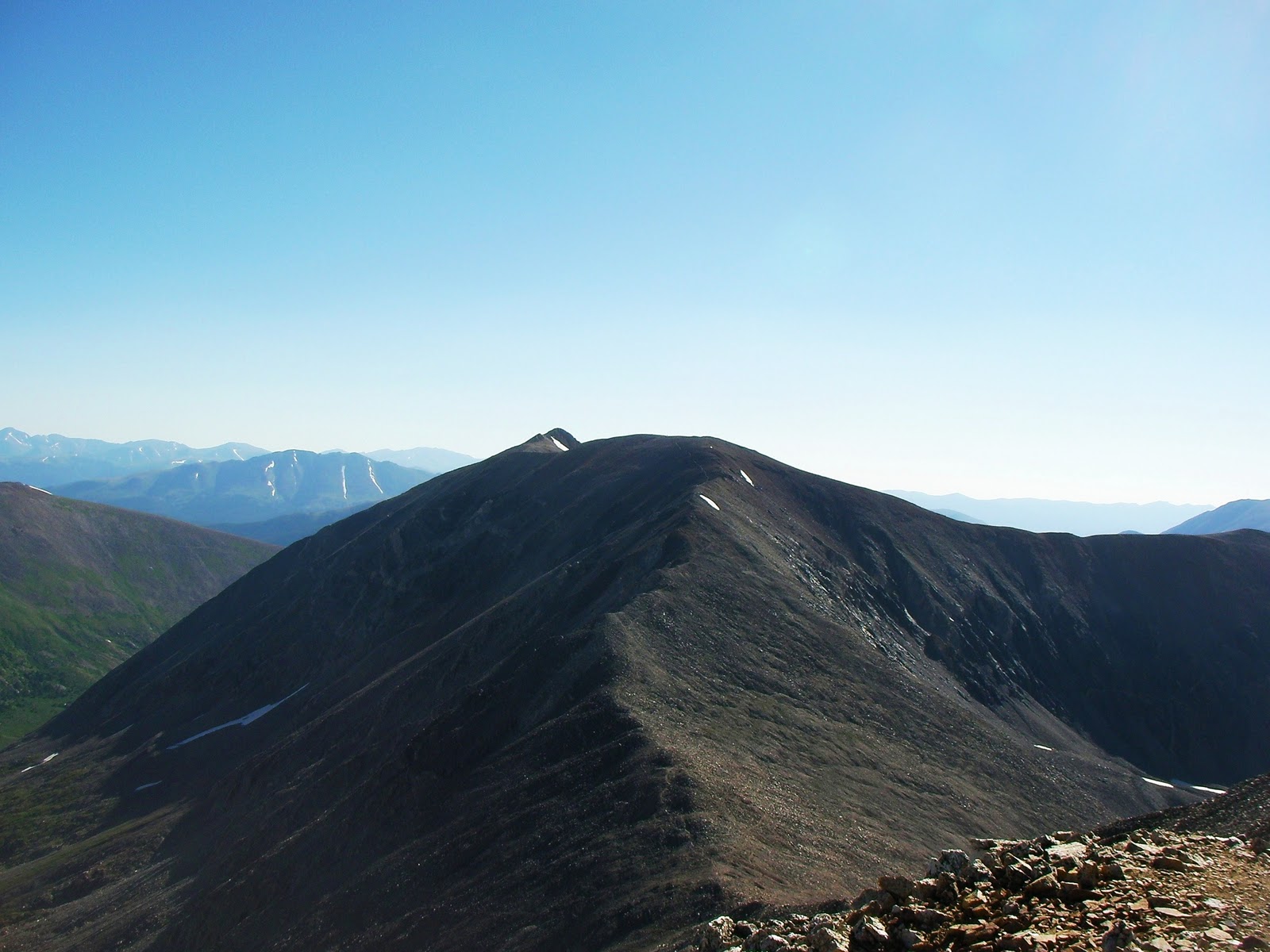
After passing below the Cameron summit I stopped the Cameron - Bross saddle to take a look back at where I had been earlier. From this saddle you can see the incline I climbed to get to the Democrat summit.


Then looking back at the large Cameron summit (left) and the small Lincoln summit (right)...


...then, finally, looking down at the Kite Lake trailhead.


If the summit for Mt. Bross was not on private property I could have added another 14er to my list.


I mentioned that downhill is hard on my old knees, well, I've never experienced downhill of this magnitude. Between the steepness of this downhill and the loose scree, this was quite a challenge.


I'm not sure what part of this loop was slower the climb of the final descent, but I made it down without falling.

The entire loop is just over seven miles with 3,700 feet of elevation gain and I made it back to the trailhead in under four hours.

 I enjoy taking time out of my fishing trips to knock these 14ers out...here's to my next summit!

Chris

Saturday, May 14, 2011

The Search for Methuselah

This is a continuation of my trip into the Nevada desert in search of Lahontan cutthroat...there were no trout harmed in the making of this entry.

From the Lahontan stream I drove to Bishop, California in preparation for my hike into the bristlecone grove - my first time to California.

I rose early the next morning to get some nice shots of the Sierras in alpenglow. I was amazed at how much snow remained up high. This snow is what pointed me to Bishop when I wanted to go to Lone Pine in search of my first true golden.

Due to snow, the road into the bristlecones was closed two from the trailhead, so I parked at the gate and the Sierra overlook.

You can see why the road was closed, but it probably won't be long before it opens.

I had the 4.5-mile loop trail all to myself, didn't realize until later that this may not have been a good idea.

Shortly into the trail, the sign says, "stay right", so I went right. I soon found that all north-facing slopes had a good bit of snow remaining. After about 1/4 mile of intermittent searching for the trail and post holing, the trail disappeared.

At this point I turned around and decided to take the left fork of the trail. As I made my way around to the east and south facing slopes the trail opened up and became much easier to follow. I soon found myself among the ancient ones.

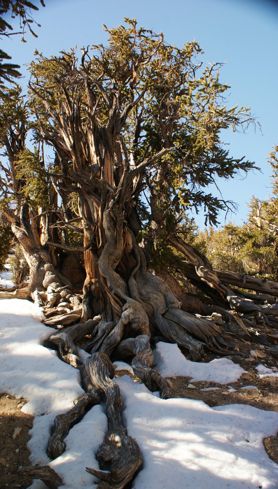
These California bristlecones (Pinus longaeva) are a different species than the bristlecones I visited in Colorado (Pinus aristata) and much older. This loop and this grove is said to contain the oldest tree in the world Methuselah, which has an estimated germination date of 2832 BC - and this is why I made this journey.

I didn't know the exact location, all I had were GPS coordinates and a photo. Unfortunately, my GPS is in dire need of a charging cable, so I was "flying blind".

I started the hike with three layers (it was in the upper 30s) but as the sun rose higher it turned into a beautiful day.

I believe Methuselah is somewhere in the vicinity of the next photo, but without my GPS I couldn't pinpoint it exactly.

As I made it to the 3.5-mile mark of the trail, I knew that I would soon be encountering the section of the tail that remained buried beneath a few feet of snow, so when I intersected the Schulman cabin trail I made a very good decision. I was now out of water (1.5 liters) and solo, so I made the decision to take the shortest route back to the vehicle.

The cabin trail took me up several switchbacks to a saddle where I could see the road to the trailhead.

From the saddle, I abandoned the trail (I normally abide by the off-trail restrictions) and headed straight downhill to the road. I stopped one last time to take a shot of this solo tree....

...and this unusual remnant.

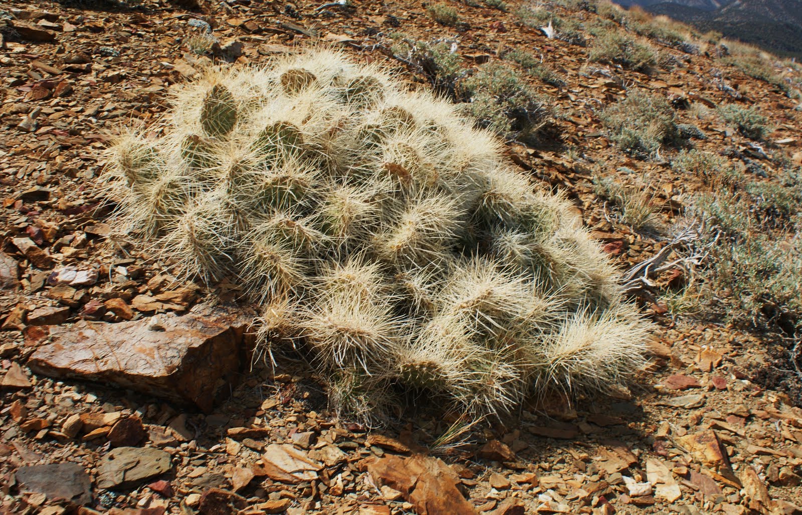
One last note from my first adventure in the Sierras: it amazes me to see cactus around 10,000 feet!

This specimen was somewhere around 8,000 feet on the way back to the main road.

Finally, this guy that just screams "Do Not Touch", were quite common in the California and Nevada desert floor.

I did not find Methuselah but it was a nice hike (8-10 miles) and it was nice to be back up in altitude. I'll take 50% on a short trip like this!
I plan to revisit the Sierras later this year, but next time I will be packing a fly rod and (hopefully) there will be a few trout involved.
Chris

Landis Trail of North Fork Mountain - Chimney Top

As I mentioned in my previous entry, there are two short routes to the Chimney Top formation along North Fork Mountain trail, and this will be the second entry on Chimney Top.

I completed this hike, solo, in October of 2009. For the most part the season had already changed, autumn was in full swing, and the leaves were beyond their peak colors.

I had already completed the hike to Chimney Top via the northern terminus of the North Fork Mountain trail, so I thought I would try a different route. The Landis trail meets the North Fork Mountain trail about  half-mile south of Chimney Top and follows the spine to the spur trail for the formation.


Landis trail is a shorter route to the top, but if you're not prepared for a straight up climb of about a mile, I would recommend the formerly listed route. It is nothing compared to hiking at altitude in the Rockies, but for the Appalachians it is one of the more difficult trails you can hike. The trail is well worn and, hopefully, you can see the degree of incline in the photo.


This is where it gets interesting. I had noticed on the drive up the North Fork Valley there was a very distinct line of snow on both the North Fork and Allegheny Mountains. When I hit about 2,000 feet on the climb, this is what I encountered.


It made the hike so much better, the color of the leaves and the dusting of snow was incredible. The climb ended at the junction of North Fork Mountain trail.


From this junction it was a series of ups and downs, weaving through the mountain laurel, all the time trying to avoid getting lost amongst all of the spur trails to the multiple vistas. If you don't get motion sickness, this short video shows what it was like to hike through the snow-covered jungle of mountain laurel and rhododendron.


As I made it to the spine and made my way to the first of several openings in the wall of rhododendron, the snow picked up.


From another view, you can see the distinct snow line I saw from the valley floor.


I wouldn't be honest if I said I didn't get turned around a couple of times as I attempted to make as many trips to the edge as I could. But I couldn't help myself as every vista seemed to be better than the last.


I eventually made it to the small cairn and a quick climb to the area of Chimney Top. Some of the following shots may look familiar, simply with a few more colors on the trees and a dusting of  the white stuff.


I was very careful, being solo, as I pulled myself up to the perch overlooking the Chimney Top formation. A chance I probably shouldn't have taken by myself, but you can see why I did.


I didn't spend nearly as much time on top this time. I snapped off several photos for my memories of another incredible adventure to (again) one of my favorite locations east of the Mississippi.

On the way back, I couldn't help but take a few more trips to the edge and one last look across the valley to the top of Dolly Sods Wilderness.


When I made it back to the junction of Landis trail, I set up the camera for a very rare self-portrait. I had to have a photo of the fact that I was hiking in shorts in the snow and in late October. You may or not be able to tell from the photo but my pants, socks, and shoes were soaked through from hiking through the snow-covered rhododendron.


The hike straight down was uneventful but the pounding from the downhill sure was hard on the knees.

From a quality standpoint, I don't know that I could choose one route over the other as they both have amazing vistas along the spine of North Fork Mountain. However, this hike is definitely more difficult. This trip, because of the snow was significantly better than the first. Here is one more motion sickness inducing video of a section of open hardwoods along the top.


As with the hike to Chimney Top from the northern side, there is no water so plan accordingly.

Chris

North Fork Mountain Trail - Chimney Top

Back in 2009 I completed this hike twice in 30 days, once via the northern terminus of the North Fork Mountain trail, and the second via Landis trail. The destination was the same, Chimney Top and a natural 360 degree view.

The North Fork Mountain trail is the easier route to Chimney Top.


This trail has several switchbacks during the approximately 1.5 hike to the spur trail for Chimney Top. The Landis trail may be a shorter mile hike to the junction with North Fork Mountain trail, but it is nearly straight up (no switchbacks).

My first trip to Chimney Top was in mid-September and the leaves along the trail were just beginning to change, making for a beautiful hike - not that this trail needed color to make it incredible.


It seemed like it didn't take any time at all to hit the top. You will know when you get to the top when you start seeing spur trails to the many vistas along the "edge".

One of the first views from the top is a view directly above the cabins along the North Fork of the South Branch of the Potomac and Route 28 - everything looks so small.


You could spend an entire day checking out the multiple vista points but we had a specific destination we were in search of.

It may be only another quarter-mile to the spur trail we were looking for, but with all of those views, who cares. Simply look for a small cairn and a short trail that goes straight up. You may end up getting off trail as you climb and weave your way through the rhododendron, but as long as you continue straight up you'll end up in the right place.

When you break out into the open again you will be staring at a 10-15 foot rock wall and this will be your view to the south.


A quick scramble up the wall, pull yourself up, and you have made it to one of the most beautiful destinations anywhere in West Virginia. This is not Chimney Top proper but without good rock climbing skills or nerves of steel, you won't get any closer.


From this point you are looking across the North Fork valley to Dolly Sods Wilderness...and Chimney Top.


I just had to relax and take it all in.


Not the best video quality, but did I mention the 360-degree view?


The video does not do this location justice but the photos do a little better job. Looking south along the spine of North Fork Mountain.


Looking east toward the Smokehole section of the South Branch of the Potomac (and eye to eye to one of the soaring buzzards).


Looking north toward Petersburg, West Virginia.


And, finally, looking west toward Dolly Sods and Mt. Storm.


If I would have brought sleeping gear, I could have spent days up there. Alas, all good things must come to an end and we scrambled down off our perch. Before we started our hike back down we did a little exploring of the rocky outcroppings.

You can go a short distance to the south, on the cobble between the main spine and the outcroppings of Chimney Top. Be careful though, that cobble is loose and I couldn't tell you where it goes after it drops out of sight.


From here you can wrap around the perch overlooking Chimney Top to another view of the formation.


Although not a good shot, it surprised me, but there are peregrine falcons in the area. This one flew about twenty feet directly over my head.


It was a quick, easy descent back to the trailhead. Bottom line to this trail: it is a short, moderately difficult, hike to one of the most beautiful locations you will find east of the Mississippi. If you plan this hike, take note there is not a source of water anywhere along the North Fork Mountain trail - plan accordingly.

Chris