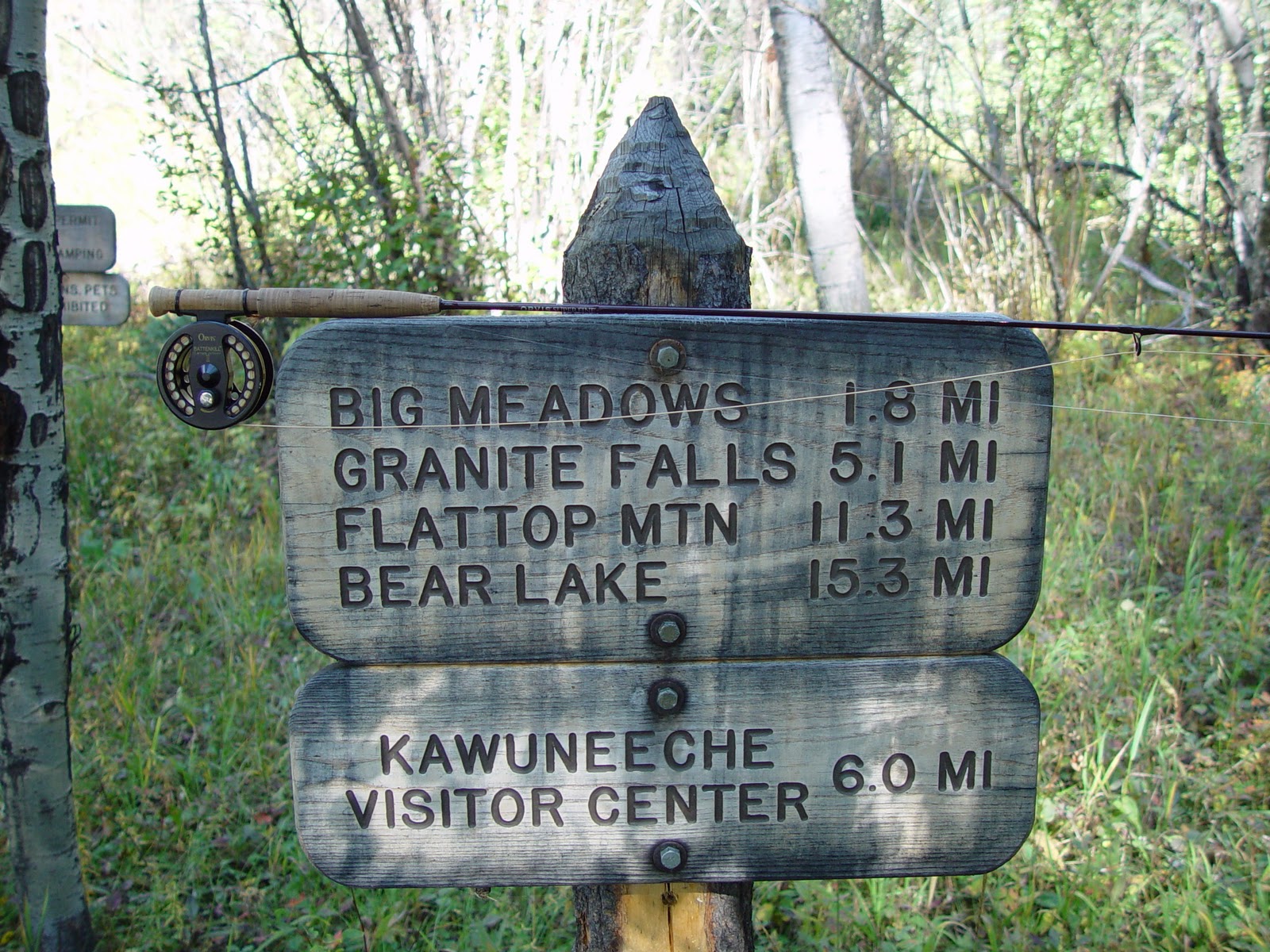
I'm on this trail every year, the Roaring River is one of my favorite greenback cutthroat trout streams in Colorado. I typically stop about two miles in (up) and start fishing. I've always wanted to hike all the way to Lawn Lake, and after seeing a report of monster greenbacks in Big Crystal Lake, I added it to my 2011 trip agenda.
The day finally arrived, I left my younger brother's place in Westminster at 4:30 AM, and went through the park gates before the rangers arrived. By 6:30 AM I was leaving the trailhead at 8,500 feet.
The first mile of this trail (in my opinion) is the most difficult but don't let that discourage you because once you make it to the Horseshoe Falls overlook the trail levels out and stays that way for the next couple of miles. At about four miles the trail hits another section of switchbacks. Just after this the Roaring River changes directions from north/south to east/west and you get your first view of the Lawn Lake bowl and Mummy Mountain.

The trail remains mostly flat while you make the final push toward Lawn Lake, with one more small set of switchbacks. At six miles, and 11,000 feet, I got my first view of Lawn Lake - it's been a long time in the making!

Lawn Lake was not my final destination, so I pushed on up the trail. Colorado had received a very heavy snowfall in 2011 and the trail above Lawn Lake had large drifts remaining.


With the increasing altitude and increased slope, the trail above Lawn Lake gets increasingly more difficult. As you near 12,000 feet you have the option to go to the saddle between the twin 13,000 feet peaks of Fairchild Mountain and Hagues Peak or (my destination) Crystal Lakes.

At this junction, I get my first taste of downhill, with a short downhill to 11,500 feet and Little Crystal Lake.

Little Crystal Lake was not my final destination, but it is a very short distance between Little Crystal and Big Crystal. At just over eight miles and 3,000 feet in elevation gain, I was standing on the edge of Big Crystal Lake and the shadows of Fairchild Mountain.

I sat and watched the massive greenback cutthroat do their mating dance for what seemed like an hour. I was surprised to have another angler show up as I was having a quick lunch before. He had set up camp at the Lawn Lake site. I don't know what I would prefer, the sixteen mile day hike or lugging a pack six miles to Lawn Lake?? After a quick bite to eat, I took the time to look around from the Crystal Lakes perch.
The view from Big Crystal was amazing, not that you should expect anything else when you are above treeline in Rocky Mountain National Park. This is a shot of Lawn Lake, 500 feet below and two miles via the trail.

With the heavy snowpack and late runoff, the wildflowers were in amazing display.

You never know what kind of "critters" you will run into on the high trails. These guys seemed to have no fear of me.


I finally passed a few fellow hikers on the way back to the trailhead, but for the most part I had the trail entirely to myself. I made it back to the trailhead about 2:30 PM, with over sixteen miles and over 3,000 feet of elevation gain on my feet.
My next plan was a hike into the west side of the Indian Peaks Wilderness so I took the Fall River Road to the Trail Ridge Visitor's Center. The late runoff made for some beautiful cascades along Fall River Road.

It's been a while since my last entry and even longer since my last hike....I need to change that!
Chris
The day finally arrived, I left my younger brother's place in Westminster at 4:30 AM, and went through the park gates before the rangers arrived. By 6:30 AM I was leaving the trailhead at 8,500 feet.
The first mile of this trail (in my opinion) is the most difficult but don't let that discourage you because once you make it to the Horseshoe Falls overlook the trail levels out and stays that way for the next couple of miles. At about four miles the trail hits another section of switchbacks. Just after this the Roaring River changes directions from north/south to east/west and you get your first view of the Lawn Lake bowl and Mummy Mountain.

The trail remains mostly flat while you make the final push toward Lawn Lake, with one more small set of switchbacks. At six miles, and 11,000 feet, I got my first view of Lawn Lake - it's been a long time in the making!

Lawn Lake was not my final destination, so I pushed on up the trail. Colorado had received a very heavy snowfall in 2011 and the trail above Lawn Lake had large drifts remaining.


With the increasing altitude and increased slope, the trail above Lawn Lake gets increasingly more difficult. As you near 12,000 feet you have the option to go to the saddle between the twin 13,000 feet peaks of Fairchild Mountain and Hagues Peak or (my destination) Crystal Lakes.

At this junction, I get my first taste of downhill, with a short downhill to 11,500 feet and Little Crystal Lake.

Little Crystal Lake was not my final destination, but it is a very short distance between Little Crystal and Big Crystal. At just over eight miles and 3,000 feet in elevation gain, I was standing on the edge of Big Crystal Lake and the shadows of Fairchild Mountain.

I sat and watched the massive greenback cutthroat do their mating dance for what seemed like an hour. I was surprised to have another angler show up as I was having a quick lunch before. He had set up camp at the Lawn Lake site. I don't know what I would prefer, the sixteen mile day hike or lugging a pack six miles to Lawn Lake?? After a quick bite to eat, I took the time to look around from the Crystal Lakes perch.
The view from Big Crystal was amazing, not that you should expect anything else when you are above treeline in Rocky Mountain National Park. This is a shot of Lawn Lake, 500 feet below and two miles via the trail.

With the heavy snowpack and late runoff, the wildflowers were in amazing display.

You never know what kind of "critters" you will run into on the high trails. These guys seemed to have no fear of me.


I finally passed a few fellow hikers on the way back to the trailhead, but for the most part I had the trail entirely to myself. I made it back to the trailhead about 2:30 PM, with over sixteen miles and over 3,000 feet of elevation gain on my feet.
My next plan was a hike into the west side of the Indian Peaks Wilderness so I took the Fall River Road to the Trail Ridge Visitor's Center. The late runoff made for some beautiful cascades along Fall River Road.

It's been a while since my last entry and even longer since my last hike....I need to change that!
Chris